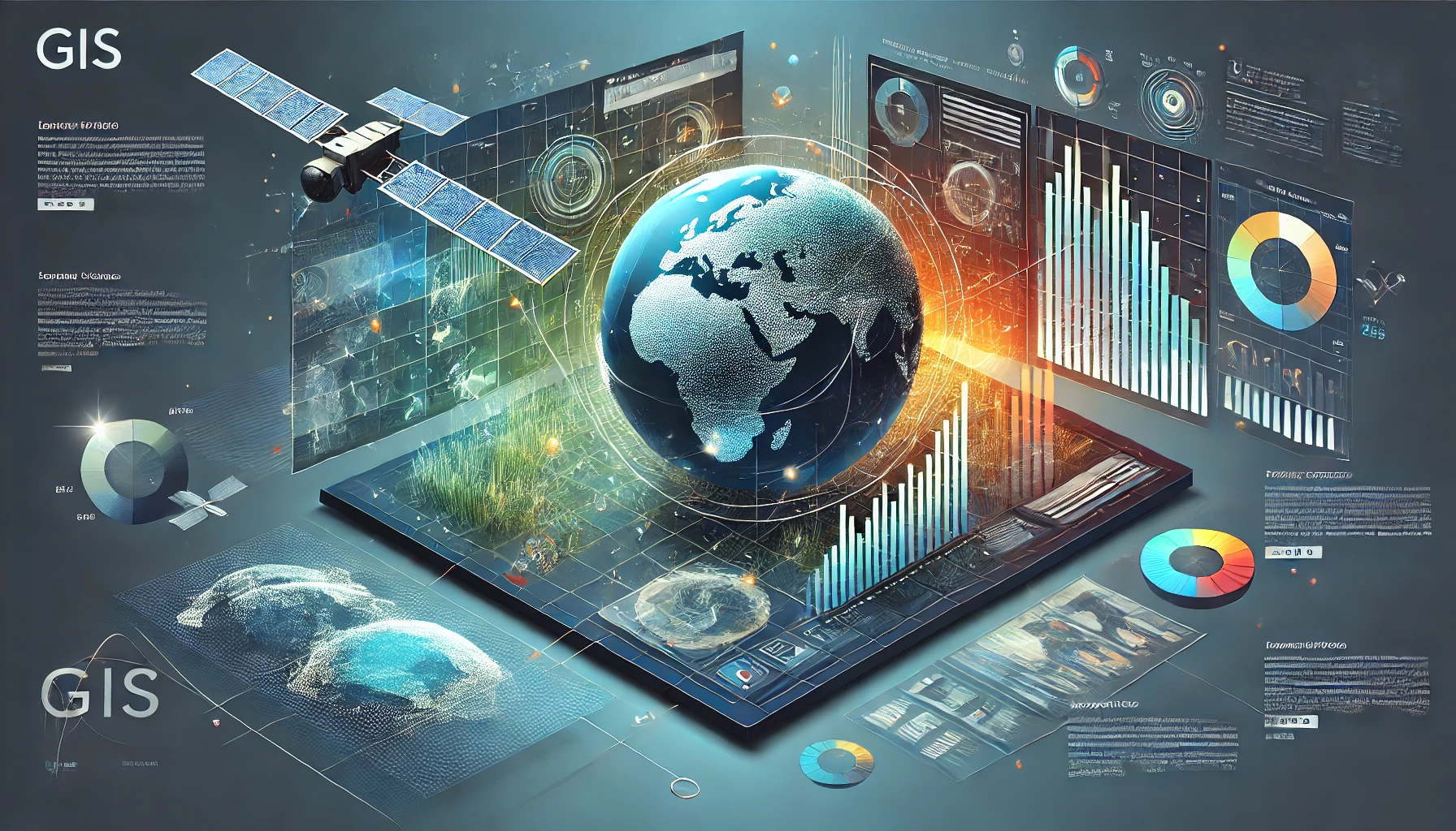
Geographic Information Systems (GIS) and Remote Sensing (RS) play pivotal roles in addressing complex humanitarian challenges. These technologies have revolutionized how humanitarian organizations respond to emergencies, manage resources, and support decision-making processes. Their integration allows for spatial analysis, monitoring, and planning, which are critical for efficient and timely interventions in disaster-prone and conflict-affected regions.
1. GIS in Humanitarian Applications
GIS is a framework for gathering, managing, and analyzing spatial and geographical data. In humanitarian contexts, it enables organizations to visualize and interpret complex datasets in a spatial context.
- Disaster Management: GIS supports the identification of disaster-prone areas, aids in planning evacuation routes, and optimizes resource allocation. During emergencies, it is used to map affected areas, monitor the impact, and coordinate relief efforts.
- Health Interventions: GIS is employed to map disease outbreaks, analyze health infrastructure accessibility, and target vaccination campaigns in vulnerable regions.
- Refugee and IDP Camp Management: GIS helps in planning and managing refugee camps by determining optimal locations, analyzing environmental impacts, and assessing resource distribution.
- Conflict Analysis: GIS is utilized to map conflict zones, analyze risk areas, and monitor population displacements.
2. Remote Sensing in Humanitarian Applications
Remote Sensing involves acquiring information about the Earth’s surface using satellites, drones, or aircraft without direct contact. It complements GIS by providing large-scale, up-to-date, and high-resolution spatial data.
- Disaster Risk Assessment and Monitoring: Satellite imagery is crucial for assessing risks related to natural hazards such as floods, earthquakes, and droughts. It helps in early warning systems by monitoring changes in weather patterns or land use.
- Damage Assessment: After disasters, high-resolution images are used to evaluate damage to infrastructure, homes, and natural resources, enabling effective relief planning.
- Environmental Monitoring: Remote sensing supports the monitoring of deforestation, desertification, and other environmental factors that can exacerbate humanitarian crises.
- Food Security: Remote sensing technologies are instrumental in monitoring agricultural conditions, predicting crop yields, and detecting early signs of food shortages.
3. Synergies Between GIS and Remote Sensing
The integration of GIS and RS amplifies their effectiveness in humanitarian operations. Remote sensing provides the raw spatial data, while GIS processes, analyzes, and visualizes this data to derive actionable insights. For example:
- Mapping flood-affected regions using satellite imagery and overlaying population density maps in GIS helps prioritize evacuation efforts.
- Monitoring refugee movements through satellite data and integrating it with GIS-based demographic data enables better planning for shelter and resources.
4. Challenges and Considerations
Despite their benefits, GIS and RS in humanitarian contexts face several challenges:
- Data Accessibility: Obtaining timely and high-resolution satellite imagery can be costly and limited by licensing restrictions.
- Technical Expertise: Humanitarian organizations often lack skilled personnel to operate GIS and remote sensing tools effectively.
- Ethical Concerns: The use of spatial data can raise privacy and security concerns, especially in conflict zones.
- Infrastructure: Limited internet connectivity and technological infrastructure in affected regions may hinder the use of GIS and RS.
5. Future Directions
Advancements in GIS and RS, such as the increasing availability of open-source tools (e.g., QGIS) and free satellite imagery (e.g., Sentinel and Landsat), are making these technologies more accessible. The integration of artificial intelligence (AI) and machine learning (ML) with GIS and RS is further enhancing their capabilities in predictive modeling and automated analysis. Partnerships between governments, NGOs, and private organizations are also crucial to overcoming challenges and expanding their impact.
Conclusion
GIS and Remote Sensing are indispensable tools for humanitarian efforts. By providing critical insights into spatial and environmental data, they empower organizations to respond more effectively to crises, mitigate risks, and improve the lives of vulnerable populations. As technologies evolve, their role in humanitarian contexts will continue to grow, offering new opportunities for innovation and impact.
Leave a Reply